Sammlung: Navigating New York
New York’s transportation history happened in phases, from early ships, trains and passenger ferries to more modern subways, trains, buses and cars. Transportation maps highlight the story of New York’s growth through the increasingly connected transportation system. Indeed, mass transit helped make the greater New York region what it is today. Navigating New York draws on the New York Transit Museum’s collection, artistic renderings, historic maps, guidebooks and digital technology that refresh our view of the city and show how transportation has catalyzed its development.
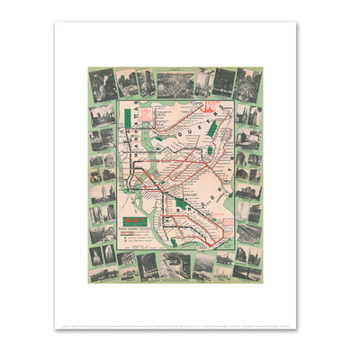
New York City Subway Map, Diamond Jubilee by Michael Hertz Associates


- Normaler Preis
- from €20,95 to €107,95
- Sonderpreis
- €107,95
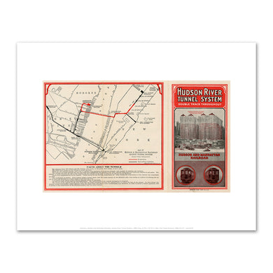
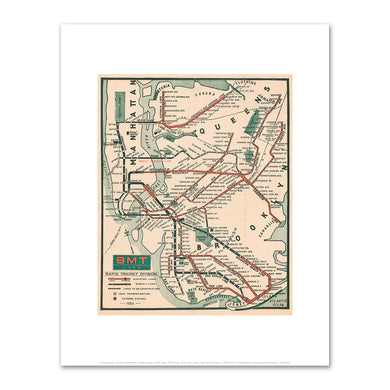
Hudson River Tunnel System by Unknown Creator


- Normaler Preis
- from €20,95 to €107,95
- Sonderpreis
- €107,95
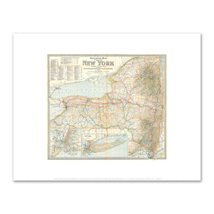
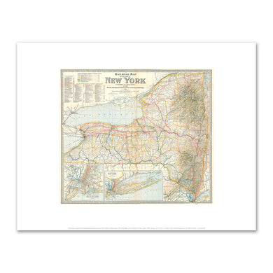
Railroad Map of the State of New York by Unknown Creator


- Normaler Preis
- from €20,95 to €107,95
- Sonderpreis
- €107,95
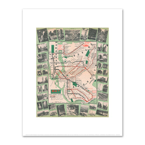
Travel guide to the World's Fair and other points of interest in New York City by Unknown Creator


- Normaler Preis
- from €20,95 to €107,95
- Sonderpreis
- €107,95

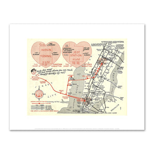
Now's the Time to Take the Hudson Tube by Amelia Opdyke Jones


- Normaler Preis
- from €20,95 to €107,95
- Sonderpreis
- €107,95

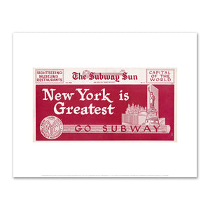
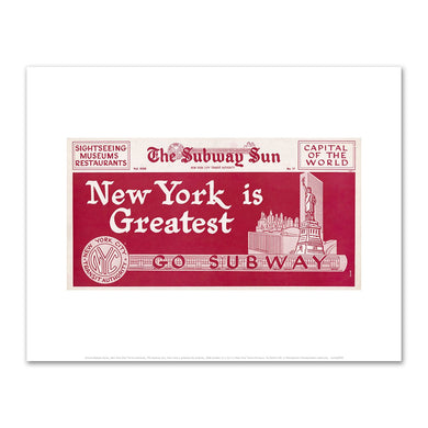
The Subway Sun, New York is greatest-Go Subway by Amelia Opdyke Jones


- Normaler Preis
- from €20,95 to €107,95
- Sonderpreis
- €107,95
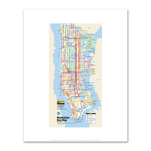
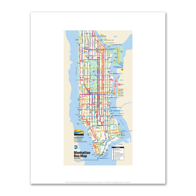
Manhattan Bus Map (detail) by Unknown Artist


- Normaler Preis
- from €20,95 to €107,95
- Sonderpreis
- €107,95
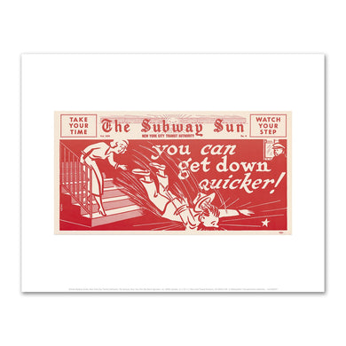
The Subway Sun, You Can Get Down Quicker! by Amelia Opdyke Jones


- Normaler Preis
- from €20,95 to €107,95
- Sonderpreis
- €107,95